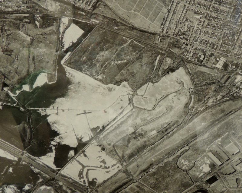
 We took a photo of this aerial map from February 1982. It features DeKorte Park, some active landfills, some iced-over bodies of water, and Harrier Meadow (before it became Harrier Meadow).
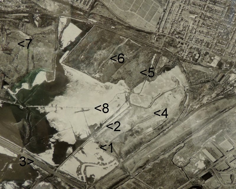
The same map, with sites numbered, follows.

What do the numbers signify? Find out tomorrow — we gave you enough hints. :- )
(Thanks to the North Arlington Club folks for showing us the map. It is hanging in the town receation center.)
